Lunch Loops Mountain Bike Trail Guide
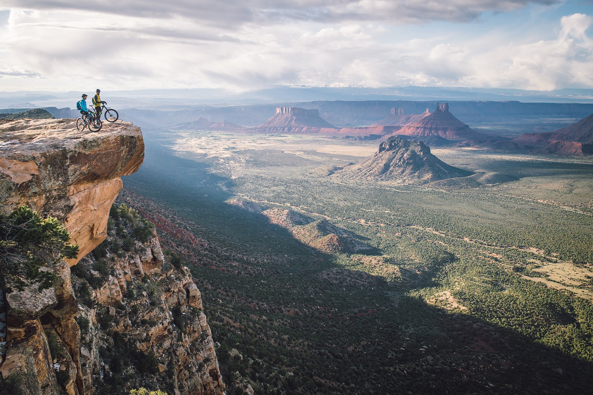
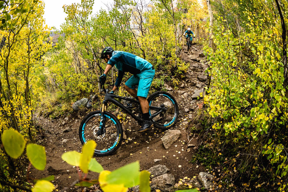
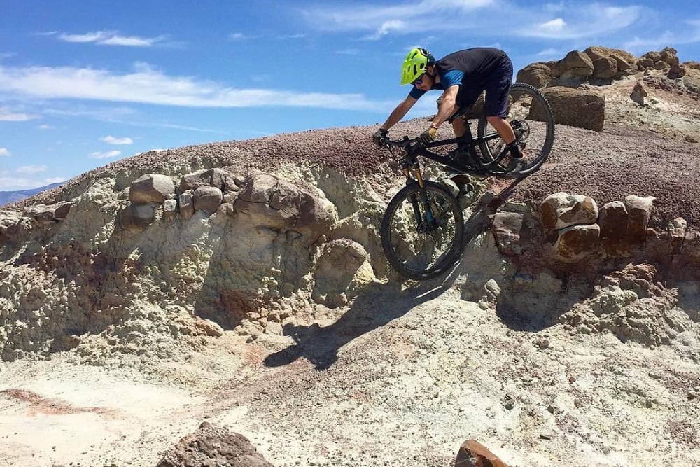
Big slickrock sections, technical drops, and awesome singletrack make the Lunch Loops mountain bike trail system Grand Junction’s premiere riding destination. The trail system is a virtual playground for mountain bikers seeking out technical challenges, with its nearly endless array of rocks and tricky lines. There are all kinds of rock features, from drops, to rolls and skinny chutes that are fun and challenging for even expert riders. There is also some easier riding for those less technically inclined, but Lunch Loops is not the most beginner friendly as a whole, 18 Road is a better choice for beginners. The Ribbon, with its super long and fast rock sections, and Free Lunch’s technical lines are some of the more well-known trails at the Lunch Loops, but there are other fun other trails, too. There are a lot of short and sweet trails that make for tons of options to combine trails for a longer ride. The Tabeguache Trail serves as the main connecting trail at the area. here is also a dirt jump laden bike park at the Lunch Loops.
| Total Trails | 56 | Difficulty | Beginner, Intermediate, Advanced. Expert |
| Total Distance | 39 miles | Style | XC, All-Mountain |

evo's Favorite Trails
Free Lunch
Expert | 1 Mile | 420' Descent
Free Lunch is the centerpiece of the technical trails at the Lunch Loops. There are big drops and the lines are challenging throughout. The technicality here is gnarly and fun. Most of the larger features have multiple lines and go-arounds, even these lines are challenging though. Pucker Up trail continues the gnar for riders who making a bigger ride back down to the trailhead.Gunny Loop
Intermediate/Advanced| 6.1 Miles | 466' Climb | 1,137' Descent (South to North)
The Gunny Loop trail at Lunch Loops is one of the most fun trails in the system. This trail is a great descent, mixing small technical sections with fun flow. There are high speed flowy sections that will leave riders smiling ear-to-ear, and some nice rock drops and jumps throughout. The Gunny Loop is a can’t miss trail at Lunch Loops. .The Ribbon
Advanced | 3 Miles | 187' Climb | 1,626' Descent (South to North)
The Ribbon is a super unique mountain bike trail, with huge rock slabs and fun lines throughout. The 1,600’ descent is a brake-burner, with very high speeds possible on the slabs. After the initial long slab, there are a series of quick ups and downs that connect the ribbons of rock. This is certainly some of the best rock slab riding east of Moab. The ribbon can be shuttled, which is an awesome way to access this all-time descent. From the bottom of the ribbon, take a right on Andy’s Line and climb Lunch Line to get back to Free Lunch and the rest of the trails that descend to the Tabeguache Trailhead.Holy Cross
Advanced | 2 Miles | 208' Climb | 602' Descent
With a good mix of slickrock, drops, and punchy climbs, Holy Cross is a Lunch Loops favorite. The trail starts just below Free Lunch and descends to Holy Bucket.Pet-E-Kes
Intermediate | 1 Mile | 499' Climb | 126' Descent (North to South)
Pet-E-Kes is a commonly used climbing alternative to the road and doubletrack of the Tebeguache Trail that accesses the fun and gnarly descents at the Lunch Loops mountain bike trails. The trail is mostly smooth, with a couple challenging technical features. I can be ridden in either direction. Advanced Lunch Loops Ride
| Total Distance | 11 Miles | Difficulty | Advanced |
| Elevation Gain | 2,177' | Style | XC, All-Mountain |
| Climb | Pet-E-Kes → Prenup → Lunch Line | Descend | Eagle Wing → Prenup → Holy Cross → Miramonte Rim (Clockwise) → Ali Alley → Curt's |
Gunny Loop
| Total Distance | 11 Miles | Difficulty | Advanced/Expert |
| Elevation Gain | 2,148' | Style | XC, All-Mountain |
| Route | Pet-E-Kes → Prenup → Gunny Loop → Holy Bucket → Coyote Ridge → Ali Alley → Curt's |
Ribbon Shuttle
| Total Distance | 8 Miles | Difficulty | Advanced |
| Climb | 1,366' | Style | XC, All-Mountain |
| Descent | 3,304' | Route | The Ribbon → Andy's Trail → Lunch Line → Free Lunch → Pucker Up → Moto → Curt's |
The main trailhead for the Lunch Loops mountain bike trails is the Tabeguache Trailhead, AKA Lunch Loop Trailhead. This is where the bike park, and short beginner trails are located, too. This parking area is located about a 10 minute drive outside of Downtown Grand Junction. Fruita, meanwhile, is 20 minutes away. The shuttle drop off for The Ribbon trail is linked below, it is located on Little Park Road.
Google Maps Directions
Shuttle Drop Off
Shuttle Drop Off
Because Grand Junction sees little snow, the Lunch Loops mountain bike trails are rideable for a lot of the year. Conditions can be windy and cold, however, and snowstorms can come through at any time. In the summer the trails can be very hot especially with the little shade available.
Western Colorado Trail Conditions Facebook Group