Fort Collins
Mountain Bike Trail Guide
Fort Collins has mile after mile of fun singletrack mountain biking just outside of town. Mountain bikers can start their rides by pedaling from downtown Fort Collins, heading towards Horsetooth Reservoir, or drive to nearby trailheads like Bobcat Ridge. Many of Fort Collins’ mountain bike trails are located in Lory State Park, near Horestooth Mountain, on the west side of Horestooth Reservoir. A bit further from downtown is one of the most fun mountain bike trails near Fort Collins, the Ginny trail at Bobcat Ridge. In addition to these areas, there are miles of singletrack that wind south through the foothills towards the towards the city of Loveland.
| Total Trails | 50+ | Difficulty | Beginner, Intermediate, Advanced |
| Total Distance | 100+ miles | Style | XC |

evo's Favorite Trails
Foothills Trail
Beginner | 8.7 Miles | 1,023' Climb | 883' Descent (North to South)
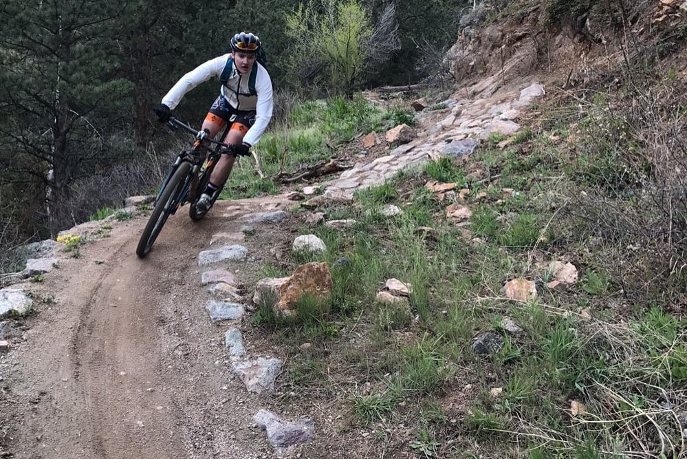
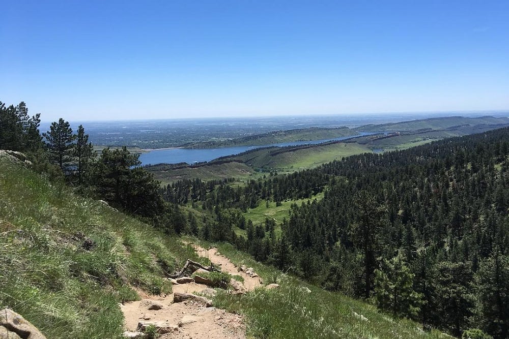
The Foothills Trail is one of the closest mountain bike trails to the city of Fort Collins, making it a great before or after work ride. The trail consists of 8.7 miles of singletrack between College Lake, Dixon Reservoir, and Horsetooth Reservoir, the views of Horestooth are amazing. Spread throughout the trail there are some rocky sections that are pretty typical of Colorado Front Range mountain biking. There are a couple other mountain bike trails on this eastern side of Horsetooth Reservoir that can be used to make nice loops and rides, or the Foothills Trail can be ridden as an out-and-back.Horsetooth mountain & Lory State Park
There are a handful of great mountain bike trails and rides at Horestooth Mountain and Lory State Park, just outside of Fort Collins. These trails offer technical descents and fun loops with views of Horsetooth Reservoir and the peaks of the Rocky Mountains. Some of the most popular trails are Wathen, Loggers, Mill Creek Trail, and Stout. There are fun beginner trails, too.
Wathen
Advanced | 1.3 Miles | 627' Descent
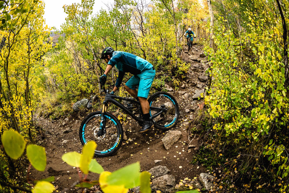
Wathen trail is one of the best and most fun mountain bike trails in Fort Collins, with its technical descent over rocks and roots. There are some small drops, and a couple optional features that more advanced riders will have fun playing on.
Loggers
Advanced | 1 Miles | 270' Climb | 280' Descent
Loggers is another great descending trail at Horsetooth Mountain. The descent is technical and fast for the upper part, then breaks into some more smooth and flowy sections. There are a couple punchy climbs in the mix, too.
Blue Sky
Intermediate | 6.2 Miles | 550' Climb | 550' Descent
The Blue Sky trail runs south from the southern end of Horestooth Reservoir and rolls through the Fort Collins Foothills. The mellow rolling hills are not too challenging except for a couple rocky sections, making for a pretty relaxing singletrack ride.There are several access points to the trail, and some connected trails that can add additional mileage.Ginny Trail - Bobcat Ridge
Advanced | 5 Miles | 675' Climb | 1,669' Descent
The Ginny Trail at Bobcat Ridge is a technical challenge that advanced riders will enjoy testing their mettle on.over the 1,669’ descent there are many rocky sections with tricky lines, and optional features. Located in an area burned by a forest fire, the landscape is unique and barren. This is cool, but it can also be very hot in the summertime without shade. The Ginny trail is certainly a test of line choice, vision, and technical riding. Climbing on the Powerline Trail from the trailhead and descending on Ginny makes a 9 miles loop.Common Routes and Rides
Bluesky & Indian Summer Lollipop
| Total Distance | 11 Miles | Difficulty | Intermediate |
| Elevation Gain | 1,035' | Style | XC |
| Route | Bluesky (south) → Indian Summer (clockwise) → Bluesky (north) |
Horsetooth Mountain Loop
| Total Distance | 15 Miles | Difficulty | Advanced |
| Elevation Gain | 3,400' | Style | XC, All-Mountain |
| Route | (climb) South Ridge → (descend) Wathen → Loggers → Mill Creek → West Valley Nomad → (climb) Towers → Herrington → (descend) Stout → Spring Creek → Soderberg |
Some of the most common parking areas for the mountain bike trails near Fort Collins are the Soderberg Open Space parking lot, which is also close to the access for the Indian Summer Trail. These trailheads are located on W County Road 38 E, about a 20 minute drive from Downtown Fort Collins. A parking pass for Larimer County, or day fee is required to park in the open space parking lots.
Rental and demo bikes are available at evo Seattle, evo Portland, evo Denver, evo Whistler, evo Salt Lake, and evo Snoqualmie Pass. (Note: The cost of up to three bike demos can be applied toward the final cost of purchasing a new or used bike from us.)
The mountain bike trails near Fort Collins are rideable all year long, depending on the weather conditions. The trails definitely get muddy after storms and can take a while to dry out all the way, so make sure to wait a couple days after large rain or snowstorms to ride here.